
Công ty cổ phần công nghệ và tư vấn CIC

Construction Robots and Their Practical Value for Modern Construction Sites...

KOMPAS-3D V24 Launches with Major Upgrades for Mechanical Design

5 Principles for Effective BIM Implementation in Vietnam
OpenFlows Water & Sewer 2026 – Bentley’s Powerful Software Duo...

enjiCAD 2027 Officially Launched with Breakthrough Performance and an Enhanced...

Construction Robots and Their Practical Value for Modern Construction Sites
18/09/2026
Construction robots are becoming an effective solution for contractors seeking to improve productivity, standardize quality, reduce dependence on manual labor,...
KOMPAS-3D V24 Launches with Major Upgrades for Mechanical Design
18/09/2026
KOMPAS-3D V24 introduces major improvements to its interface, parametric design, 3D modeling, and assembly management. The new release also upgrades...
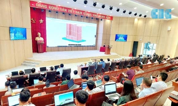
5 Principles for Effective BIM Implementation in Vietnam
18/09/2026
Five principles for effective BIM implementation in Vietnam include defining the right objectives, standardizing workflows, managing project data, integrating BIM...
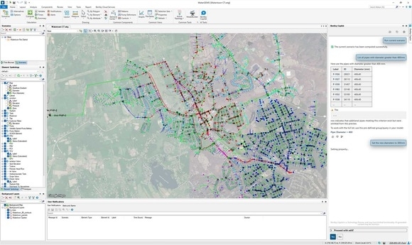
OpenFlows Water & Sewer 2026 – Bentley’s Powerful Software Duo
18/09/2026
OpenFlows Water & Sewer 2026 introduces major enhancements in performance, hydraulic analysis, coordinate system management, and AI-powered workflows, helping water...
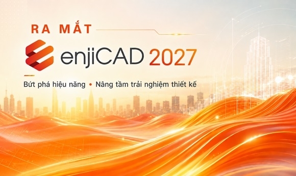
enjiCAD 2027 Officially Launched with Breakthrough Performance and an Enhanced Design Experience
16/09/2026
enjiCAD 2027 introduces major improvements in processing performance, graphics acceleration, memory management, and CAD productivity tools. The new version also...

Real-Time Landslide Monitoring: Lessons the Sichuan Rescue Operation
29/07/2026
The Junlian case study in Sichuan demonstrates the effectiveness of combining ground-based radar, UAVs and LiDAR technology for real-time landslide...

What Is a Low Emission Zone? Impacts and What Businesses Need to Prepare
28/07/2026
What is a Low Emission Zone, and how does this policy affect businesses? It is an area where measures are...
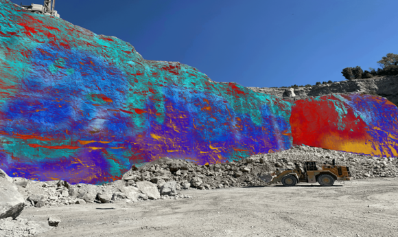
Applications of Artificial Intelligence (AI) in Geoscience
23/07/2026
Artificial intelligence is transforming geoscience by improving data management, core image analysis and the automation of complex modelling workflows. Through...
CIC TECHNOLOGY & CONSULTANCY JSC.
Head Quarter: 4th Floor, VG Building, No. 235 Nguyen Trai, Khuong Dinh Ward, Hanoi City, Vietnam
Phone: (+84 24) 39 761 381 / (+84 24) 39 741 313
Email: info@cic.com.vn
Website: https://www.cic.com.vn
Ho Chi Minh Branch: 36 Nguyen Huy Luong - Binh Thanh Ward - Ho Chi Minh City - Vietnam
Phone: (+84 28) 628 99 022 / (+84 28) 628 99 033
Email: cichcm@cic.com.vn
Products
Dịch vụ
Connect to facebook

